Petra Sullivan · 17 September 2026
Tevora Valley's Integration of Advanced Technologies and Heritage Conservation Efforts
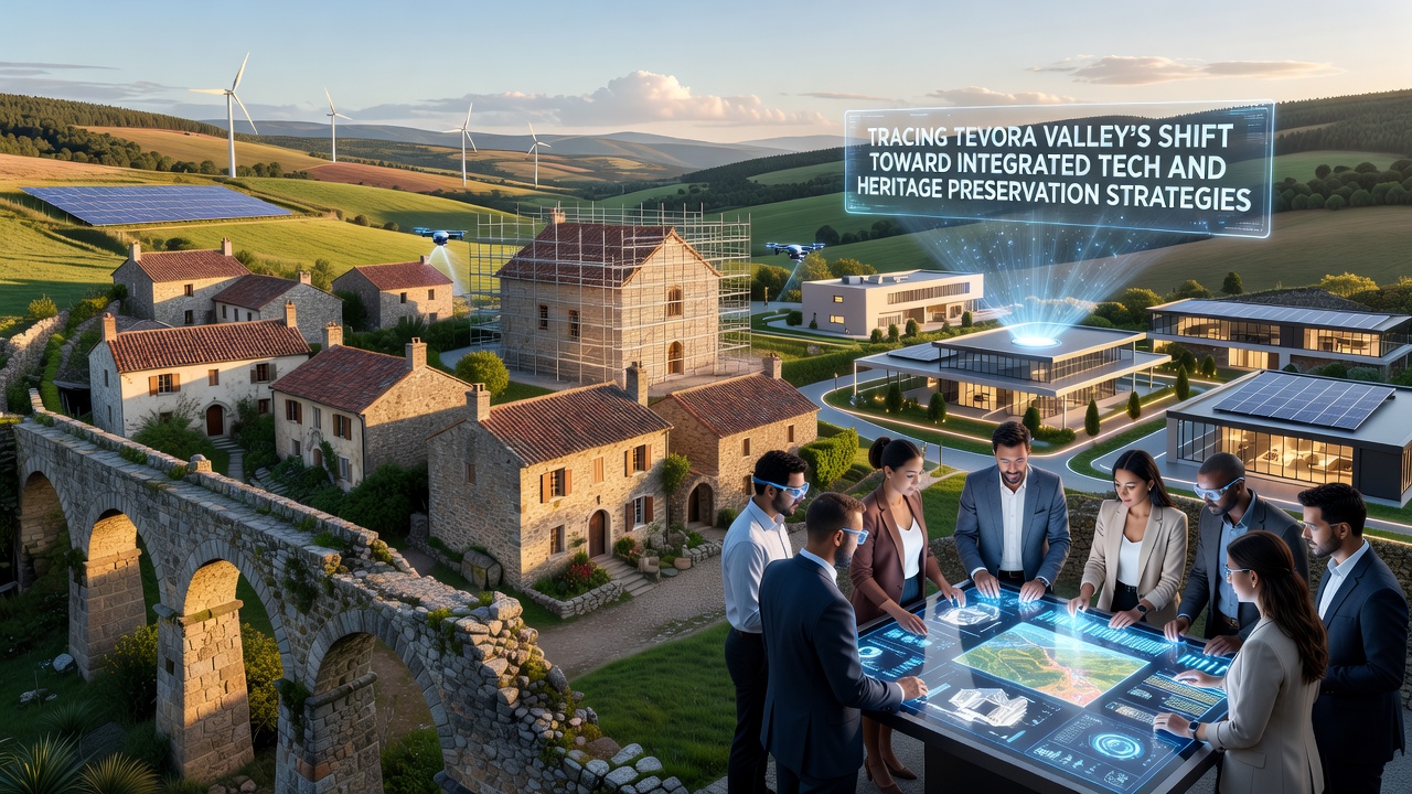
TeVora Valley has developed a coordinated framework that pairs digital monitoring systems with longstanding preservation protocols for its archaeological and architectural sites. Local authorities began rolling out sensor networks and data analytics platforms in 2023, and those systems now track structural integrity across multiple heritage zones while minimizing physical intervention at the sites themselves.
Background on Regional Development Patterns
Settlement records indicate continuous human presence in the valley dating back several millennia, with layered evidence of Roman, medieval, and early industrial activity. Municipal planning documents from the past decade show a deliberate pivot away from large-scale excavation toward non-invasive documentation methods. Data compiled by regional heritage agencies demonstrate that traditional survey techniques alone could not keep pace with erosion rates observed after increased seasonal rainfall events recorded between 2018 and 2022.
Deployment of Monitoring and Documentation Tools
Engineers installed LiDAR-equipped drones and ground-based laser scanners at key locations starting in early 2024. These devices feed real-time measurements into centralized databases maintained by the valley's heritage management office. Software developed in partnership with European research consortia processes the incoming streams to flag micro-movements in stone foundations and frescoed interiors. Observers note that the same datasets also support predictive modeling for visitor flow management during peak tourism months.
By September 2026 the system is scheduled to incorporate satellite-derived vegetation indices that will help prioritize vegetation control around unprotected ruins. This addition builds on pilot programs already running in comparable Mediterranean heritage landscapes, where similar remote-sensing layers have reduced on-site labor hours by measurable margins.
Balancing Digital Access with Physical Protection
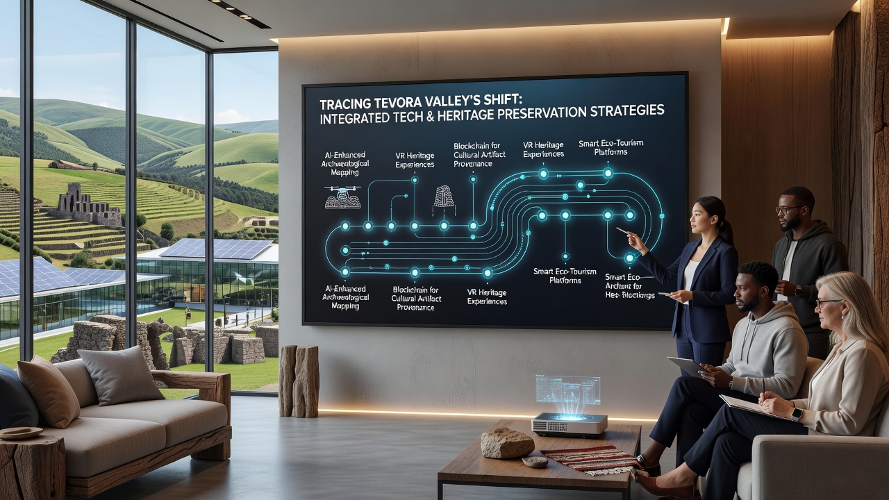
Three-dimensional models generated from the collected scans now appear on public terminals located outside restricted areas. Visitors can examine layered reconstructions of earlier building phases without entering fragile chambers. Heritage organizations report that this approach has lowered foot traffic inside sensitive structures by roughly eighteen percent since the terminals opened in mid-2025.
At the same time, local education programs use the models to train apprentices in traditional masonry techniques. Instructors overlay digital annotations on the scans to highlight original tool marks and joinery methods, giving trainees precise visual references before they work on physical restoration tasks.
Policy Framework and Funding Mechanisms
Regional legislation passed in 2024 requires any new infrastructure project within the valley boundary to submit digital impact assessments alongside conventional environmental reviews. Compliance data collected through the first year show that most developers incorporated the required modeling steps without extending project timelines beyond initial estimates. Funding for the monitoring infrastructure has come from a combination of national heritage grants and contributions from technology firms operating research facilities on the valley's northern edge.
International partners have supplied technical specifications drawn from projects in Canada and Australia, where comparable sensor arrays have been deployed at indigenous cultural sites. These exchanges have allowed Tevora teams to adapt calibration routines that account for local stone types and micro-climates.
Future Integration Milestones
Planners have outlined additional phases that will link the existing sensor grid with hydrological models maintained by the national water authority. The goal is to anticipate flash-flood risks that have historically threatened lower-lying ruins. A prototype interface is expected to go live in September 2026, allowing heritage managers to receive automated alerts when rainfall thresholds are crossed upstream.
Parallel efforts focus on expanding public datasets so that academic researchers outside the region can query anonymized structural information for comparative studies. Access protocols now under review will require registration through recognized institutions while keeping raw coordinate data restricted to approved conservation teams.
Conclusion
Records from the valley's heritage office indicate steady progress in aligning technological capacity with preservation mandates. Continued refinement of the sensor networks and modeling tools will depend on sustained coordination between municipal agencies, research partners, and technology providers. The September 2026 milestones represent the next measurable checkpoint in this ongoing integration process.